Projects
In the following we will shortly present the results of the four groups - be sure to try out the demos (from within university network only). And of course all source code is open source and available on GitHub: https://github.com/organizations/Geosoft2/
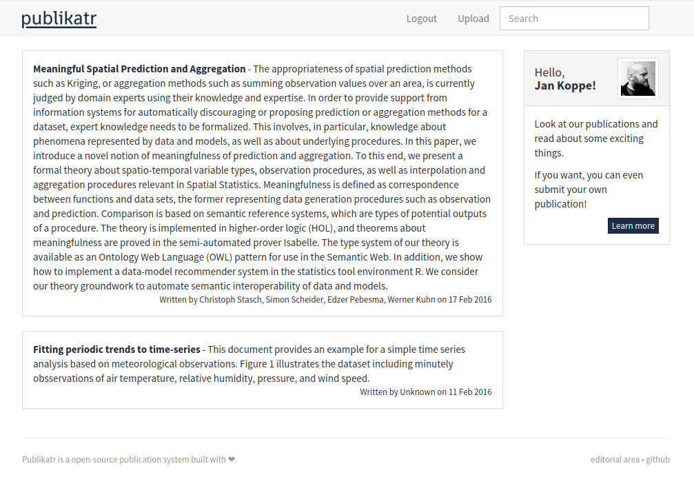
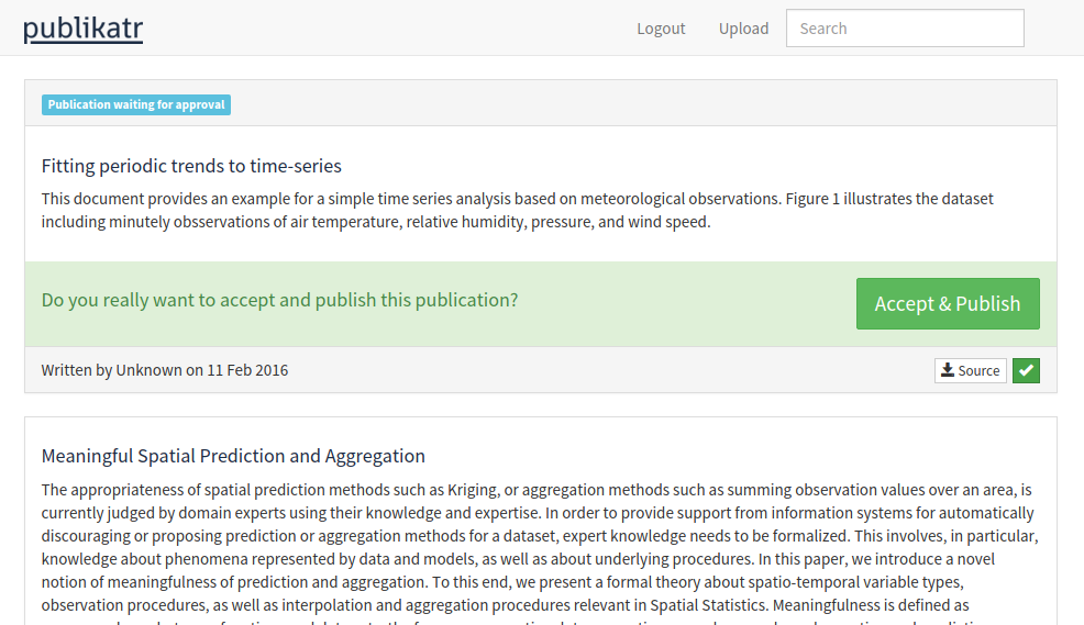
publikatr
Publikatr is a web based publishing platform for scientific articles, developed for the Geosoftware II course at WWU Münster. A basic editorial area is sketched out to manage incoming submissions.
Demo:
http://giv-geosoft2b.uni-muenster.de
Code:
https://github.com/JanKoppe/publikatr
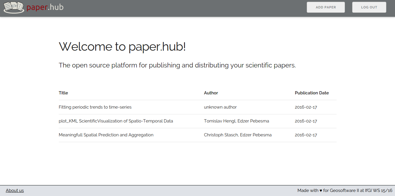
paper.hub
paper.hub is a platform for publishing scientific papers in the internet. It provides dynamical visualizations of spatial data and time-series. Users are able to register via OAuth with three different services.
Live Demo:
http://giv-geosoft2c.uni-muenster.de
Code:
http://github.com/gs2-2/paper.hub

PaperBulb
PaperBulb is a web based publication platform, which enables researchers and developers to show their research findings to the world.
Live Demo:
http://giv-geosoft2d.uni-muenster.de
Code:
https://github.com/McMorri/Geosoftware_II

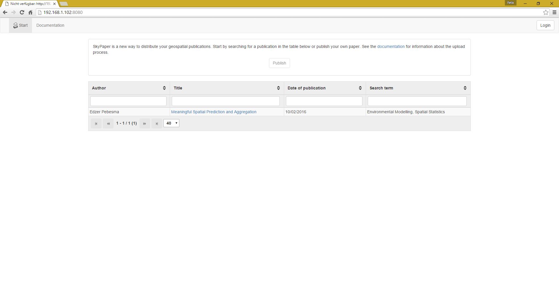
Skypaper
Skypaper is a new way to distribute your geospatial publications. You can include geospatial data just by mentioning the filename at the appropriate position in your article. Our clean and simple design makes it easy to explore and interact with scientific papers published by researchers from all over the world.
Link:
http://giv-geosoft2e.uni-muenster.de
Code:
https://github.com/FelixErdmann/Geosoftware-II