Projects
In the following we will shortly present the results of the five groups. And of course all source code is open source and available on GitHub: https://github.com/organizations/Geosoft2/
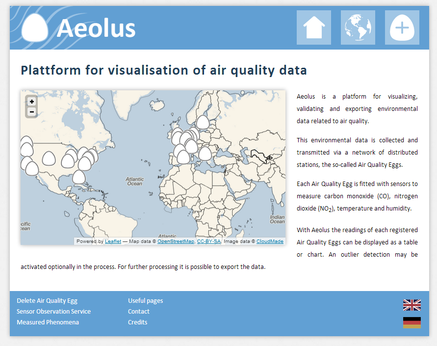
Aeolus
The highlight of Aeolos is a user friendly clean user interface which is suitable for newbies to the Air Quality Egg. Data can be visualized both on a map and a diagram all at a glance.
Code: https://github.com/aohrem/Aeolus
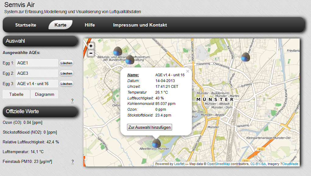
Semvis-Air
Semvis-Air is a system to visualize Air Quality Eggs in Münster. People can get an overview on a map or detailed information with the help of diagram or a table in a user-friendly way. A detailed support provides answers to almost all potential questions.
Code: https://github.com/Simon90/Semvis-Air
Eggtracker
Eggtracker aims to bring air quality data to Münsters citizens. Air quality data is collected from Air Quality Eggs via the Cosm platform as well as from Lanuv, North-Rhine Westphalias bureau for nature related affairs. We made sure that Eggtracker is easy to use and that it works on mobile platform browsers.
Code: https://github.com/chk1/eggtracker
![]()
QualitySCHU
QualitySCHU provides the possibilty to retrieve measurements captured by air quality eggs from all over the world, as well as to display data of all the LANUV stations situated in North Rhine-Westphalia; the list of active eggs is updated hourly. The simple design allows quick charging times with high clarity and combines familiar menu bars above the map with clickable tiles in the lower sensor bar area. Thereby QualitySCHU is characterized by simple, intuitive operability and invites users to a trip around the world accompanied by current air quality data.
Code: https://github.com/mpfeil/qualitySCHU

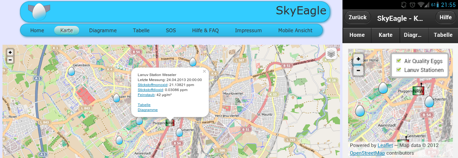
SkyEagle
SkyEagle is a system for visualization of Air Quality Egg data. It also integrates air quality data from the environmental agency of North Rhine-Westphalia ( http://www.lanuv.nrw.de/). Furthermore it provides an optimized mobile version of the SkyEagle website.
Code for parser and outlier detection, written in Java:
https://github.com/zven/aqeCosmParser
https://github.com/smatt/LanuvParser
https://github.com/zven/Geosoft2
Code for Website:
https://github.com/gollas/geosoft